About need knowers
About Ajita Devkota:
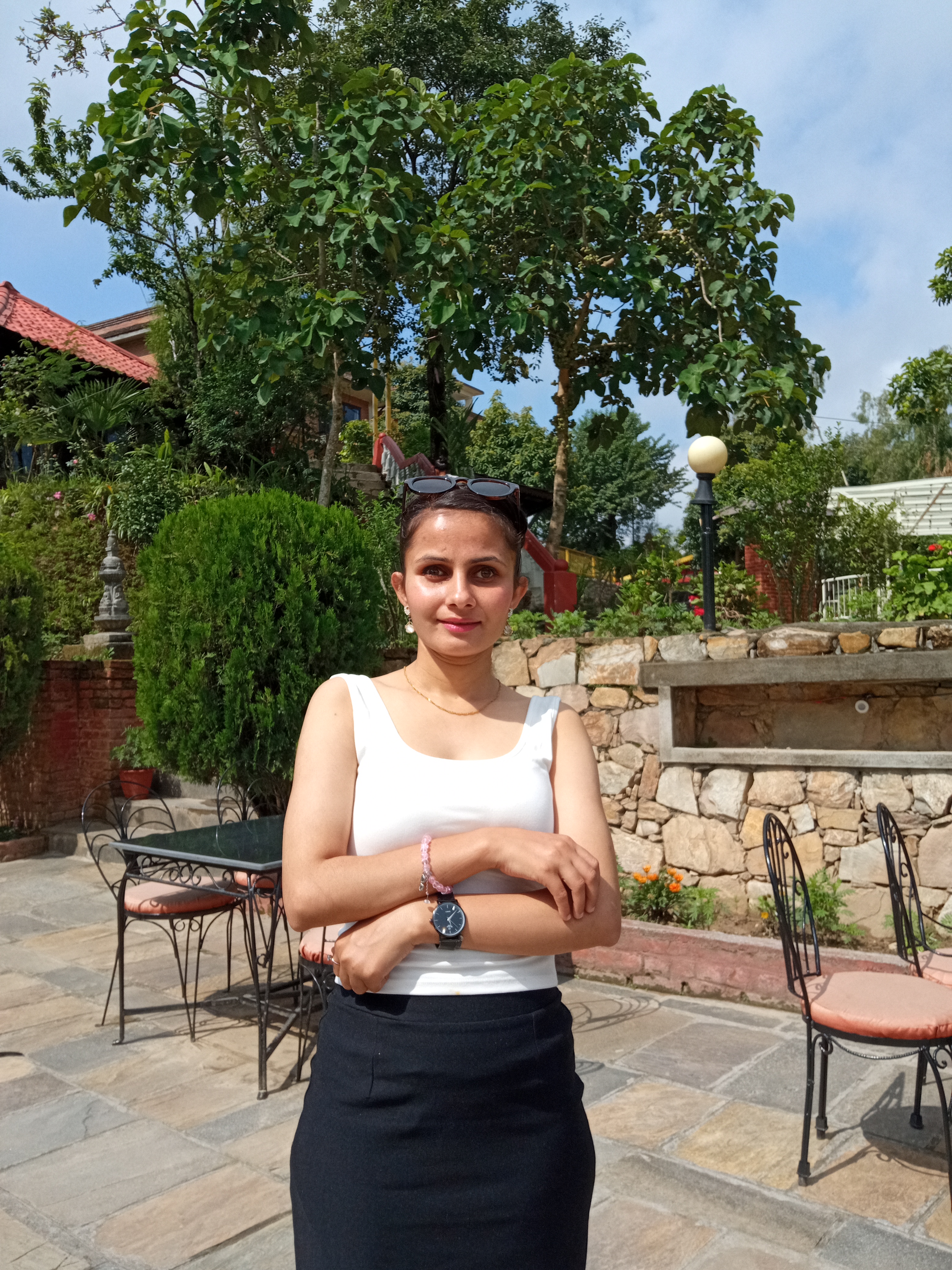
Ajita Devkota: 22 Years Old
- Law Student and U.S. Embassy Youth Council Member (2024-2025)
- Date of Birth : 2022-11-08
- Medical Diagonosis : visual impairment
- Hobbies : Public Speaking, Travelling
About Vibhaas Basukala:

Vibhaas Basukala : 30 Years Old
- CEO at Prime College and Prime Education Inc. & President at Karkhana Samuha
- Medical Diagnosis : Congenital Glaucoma (Total Blindness)
- Strengths: Educator
Understanding the Problems:
For our need
knower, navigating the public transport system is a daily struggle. There are
two key challenges she faces:
- Identifying the correct vehicle and its route before boarding.
- Understanding her location and knowing when to get off at the correct stop.
Requirements:
Need of Visually Impared Individuals:
Visually impaired individuals face significant challenges when navigating unfamiliar areas, especially in busy urban environments. The Sundhara-Jamal-SahidGate-Law Campus area, being a highly frequented region, lacks sufficient tactile resources to aid their mobility.
Current Situations :
Current solutions do not provide a detailed, comprehensive map of essential landmarks, such as bus stops, zebra crossings, roads, and public amenities. The need for an accessible, easy-to-use, and accurate navigation tool is critical to enhance their independence and safety.
Our Visions :
Our detailed tactile map will address these gaps by offering detailed representations of key locations with a scale that ensures precise navigation, thus fostering better mobility and quality of life for visually disabled persons.
Solution Ideas :
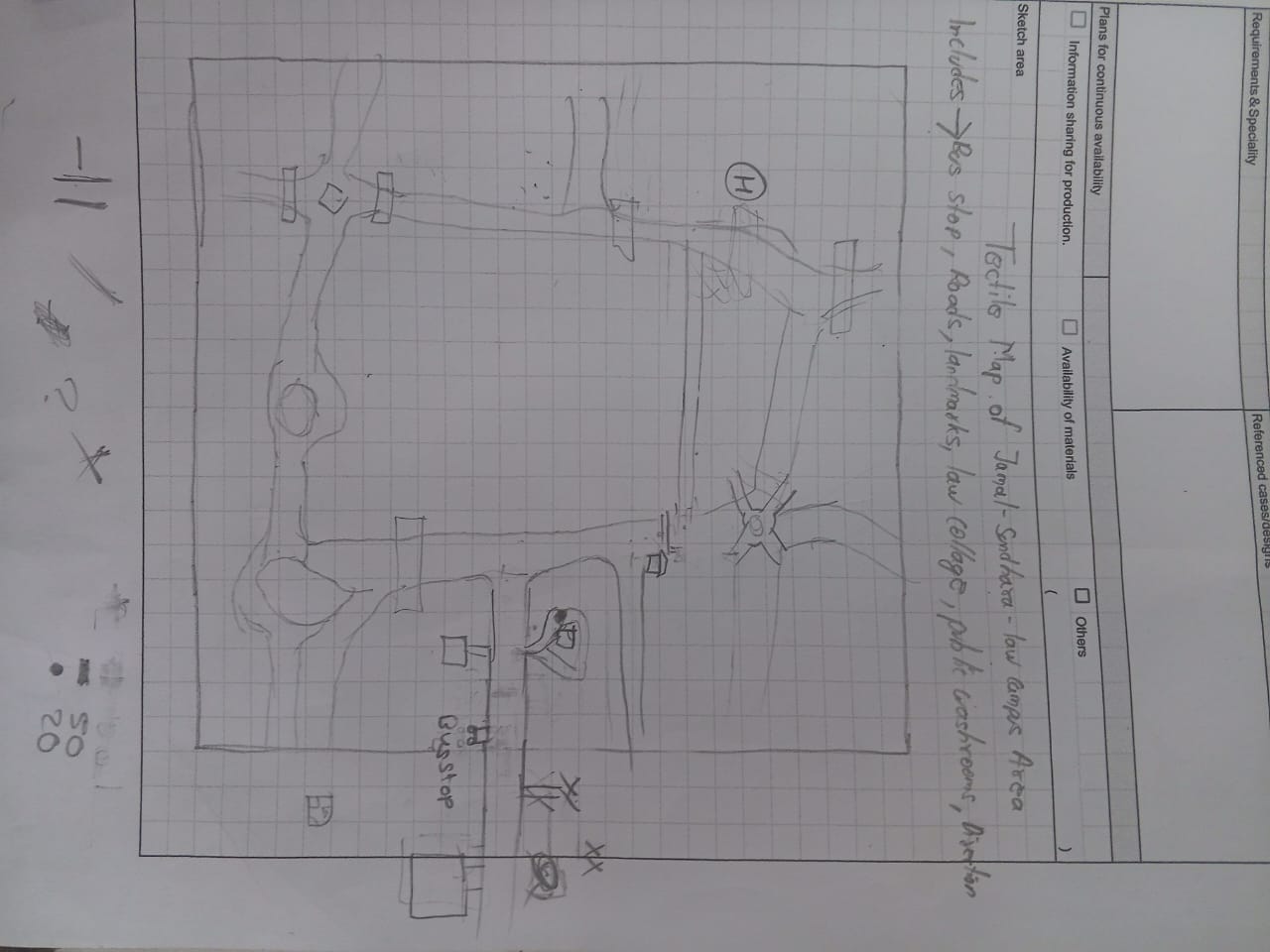
Tactile Map : Ideas
Our project aims to create a tactile map as an assistive device for visually impaired individuals, covering the Sundhara-Jamal-SahidGate-Law Campus area. It includes key features such as Law Campus, all bus stops, roads, zebra crossings, overhead bridges, public toilets that assist navigation.
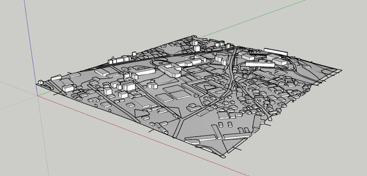
Tactile Map : Introduction
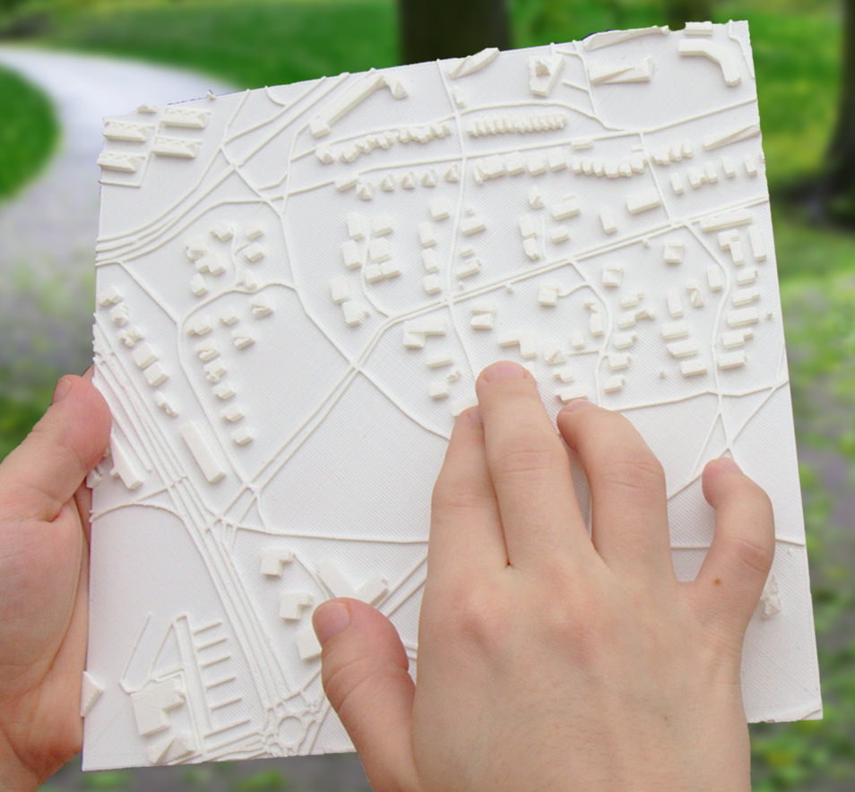
A tactile map is a specially designed map that uses raised surfaces, textures, and Braille to help visually impaired individuals navigate an area by touch. It provides essential spatial information(roads,crossings etc) that allows users to understand their surroundings through tactile feedback.
Conceptualizing the Model : Prototype Discussion
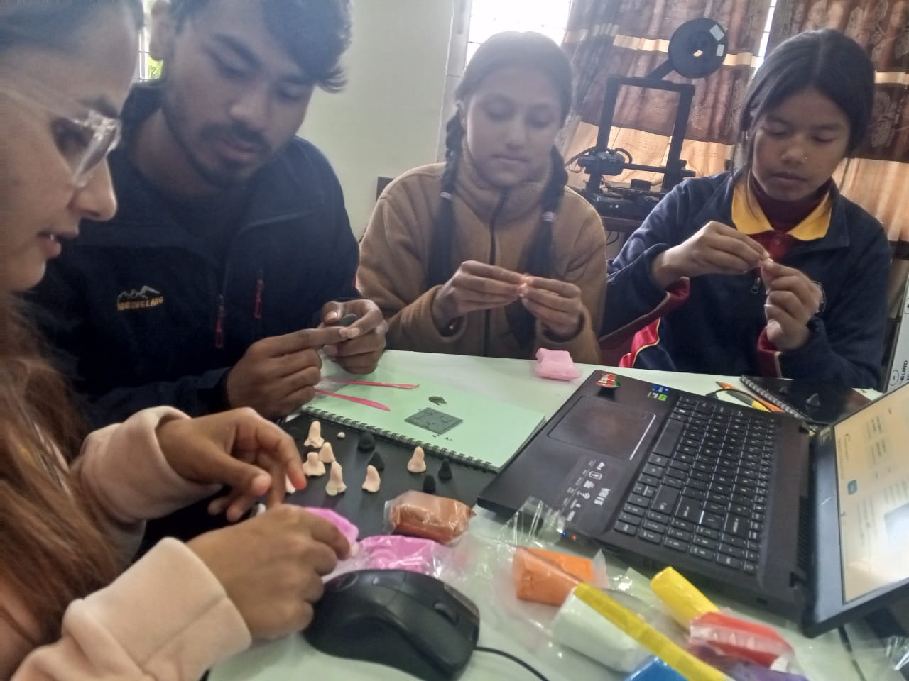
During the process of conceptualizing, we created various heights and dimensions made out of clay, in order to find out the optimal dimensions for our user. our user shared their thoughts regarding the method, and we were told it was a better approach than just interviewing.
Sketches
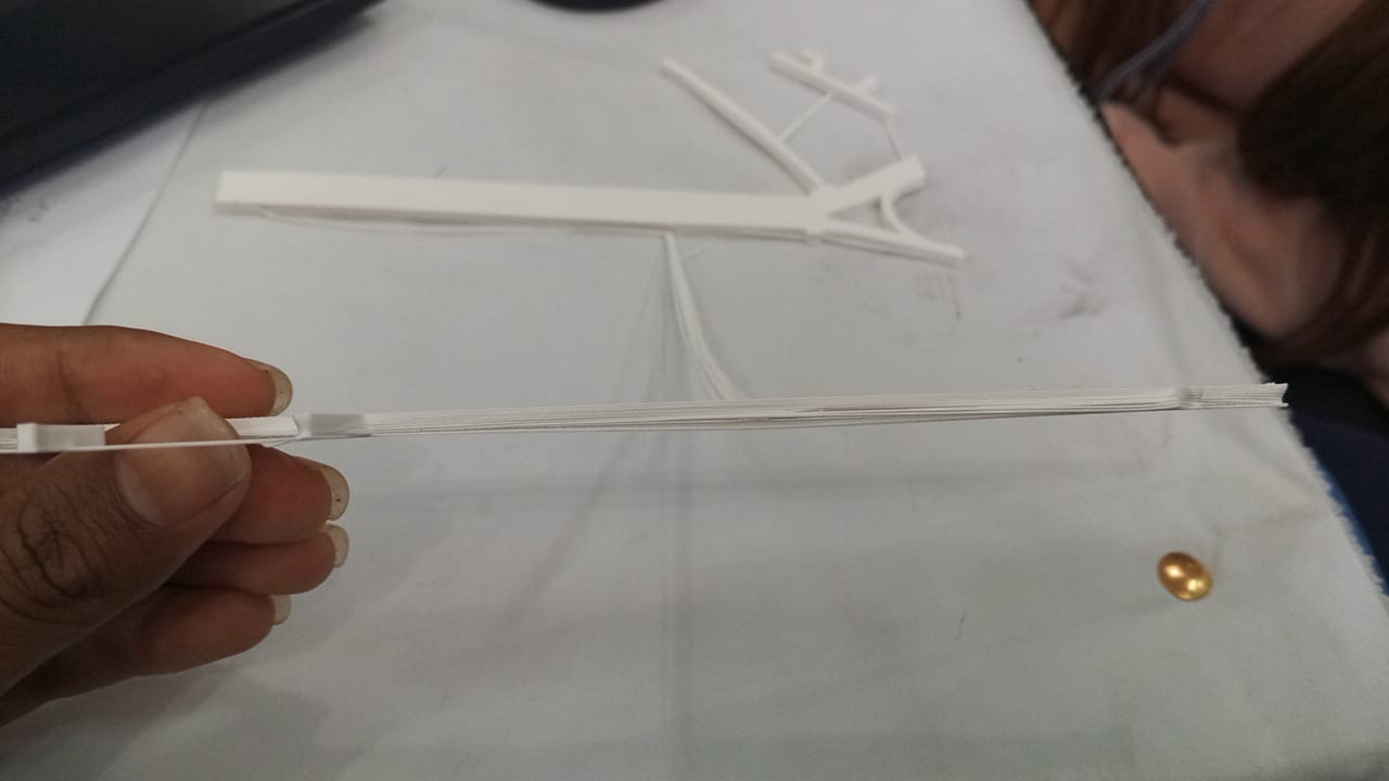
Prototyping(s)
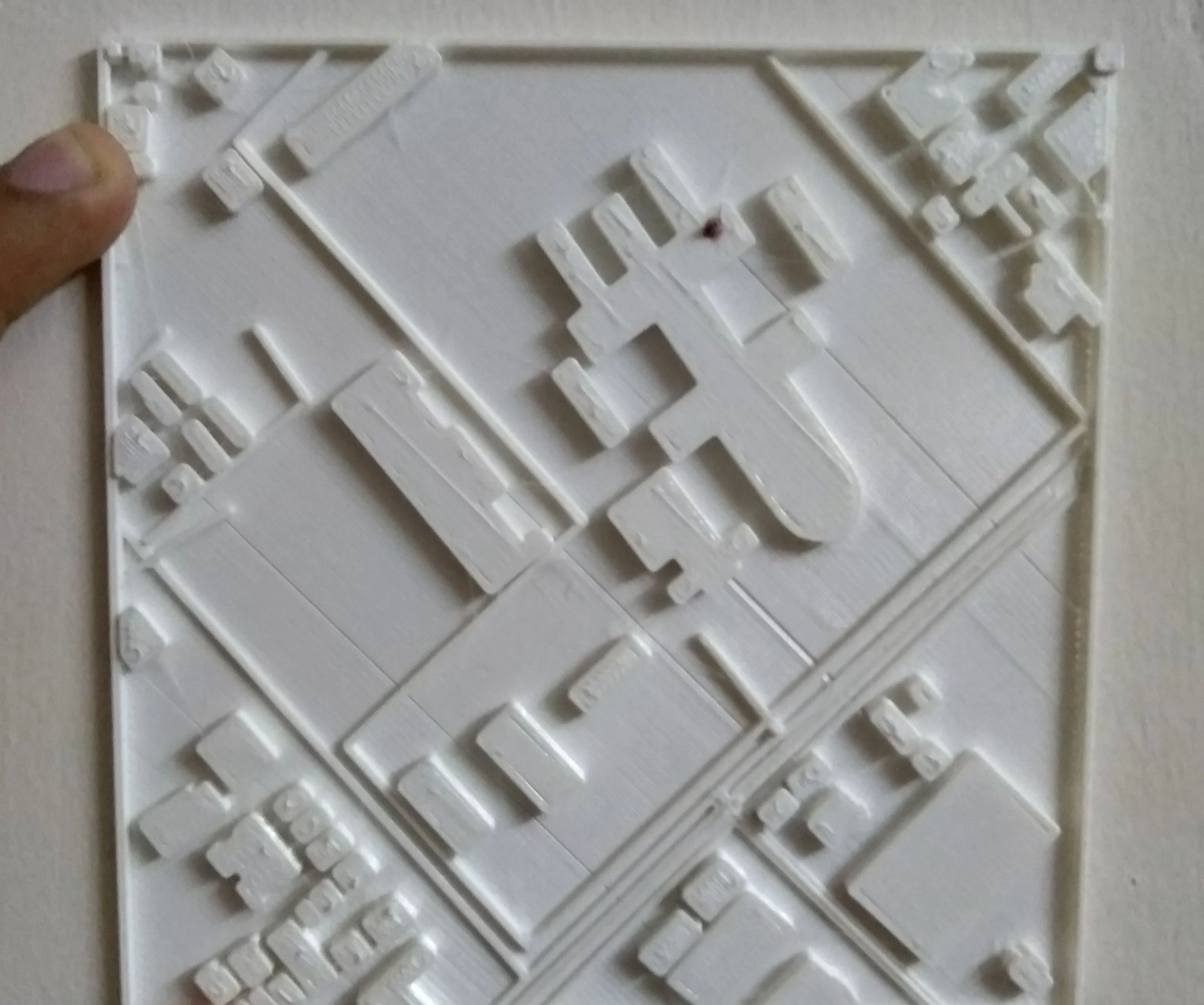
First Trial :

Only one-fourth of the map was scaled down and size to 50mm*50mm. the outcome was not as expected. the material used was PLA.
Second Trial : Testing in Small Dimension
One-fourth of the map was printed. it had fine thickness, but it was unevenly distributed. we took the feedback. we were instructed to scale it down more and make the printing more uniform.
Second Trial : Proper Dimensioning

This had a dimension of 140mm*140mm*3mm. Material used was PLA.
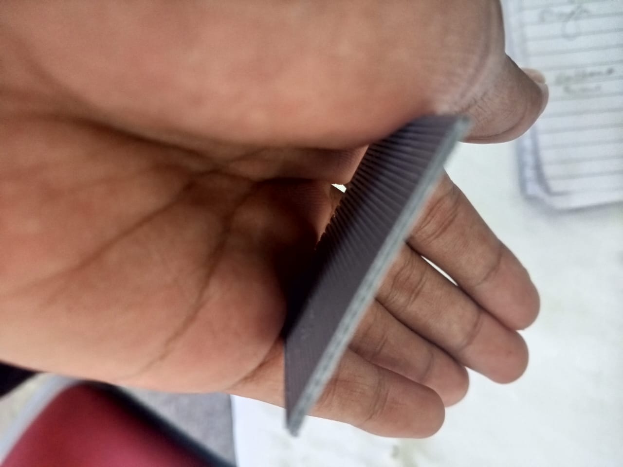
3rd Trial
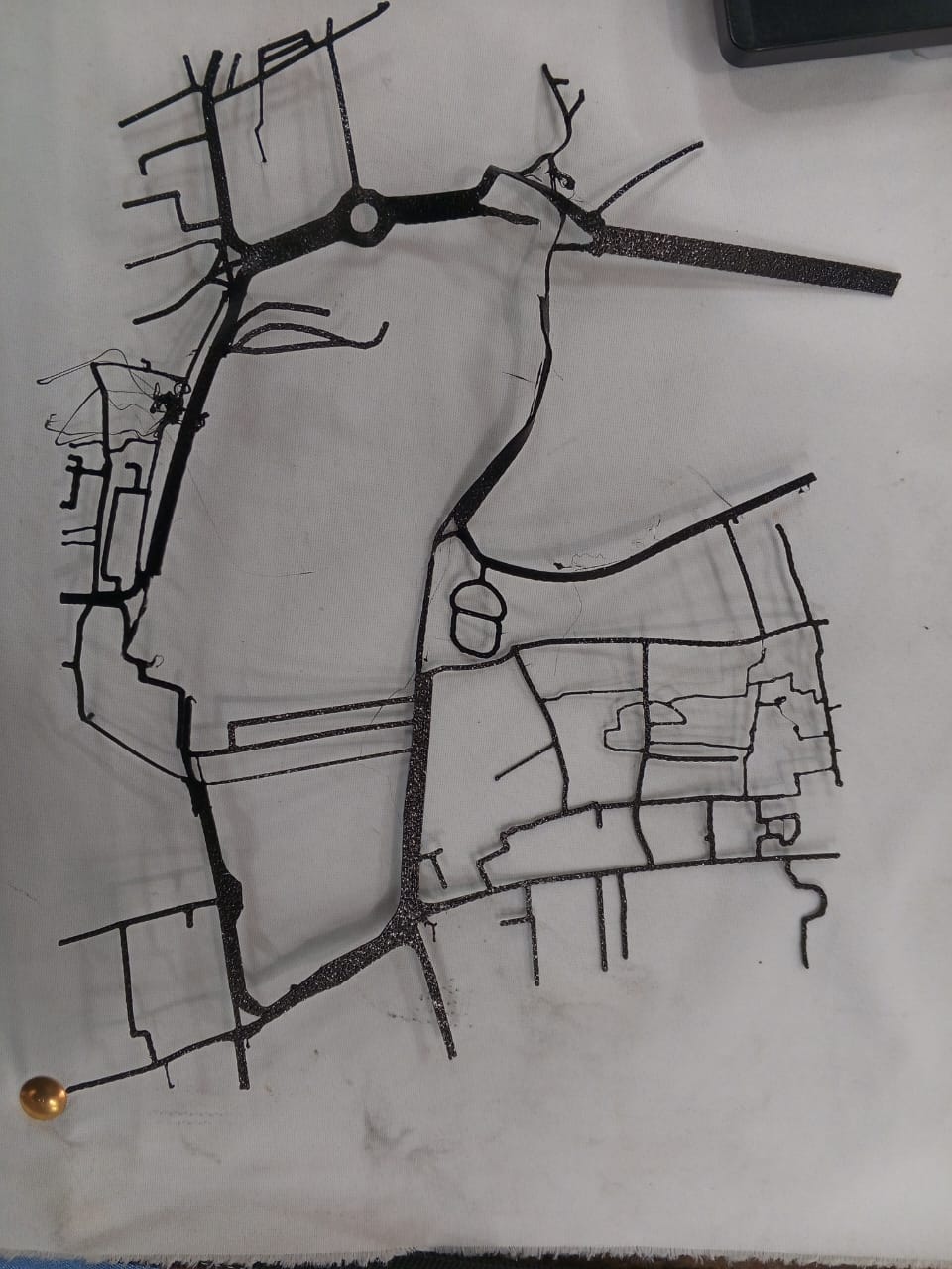
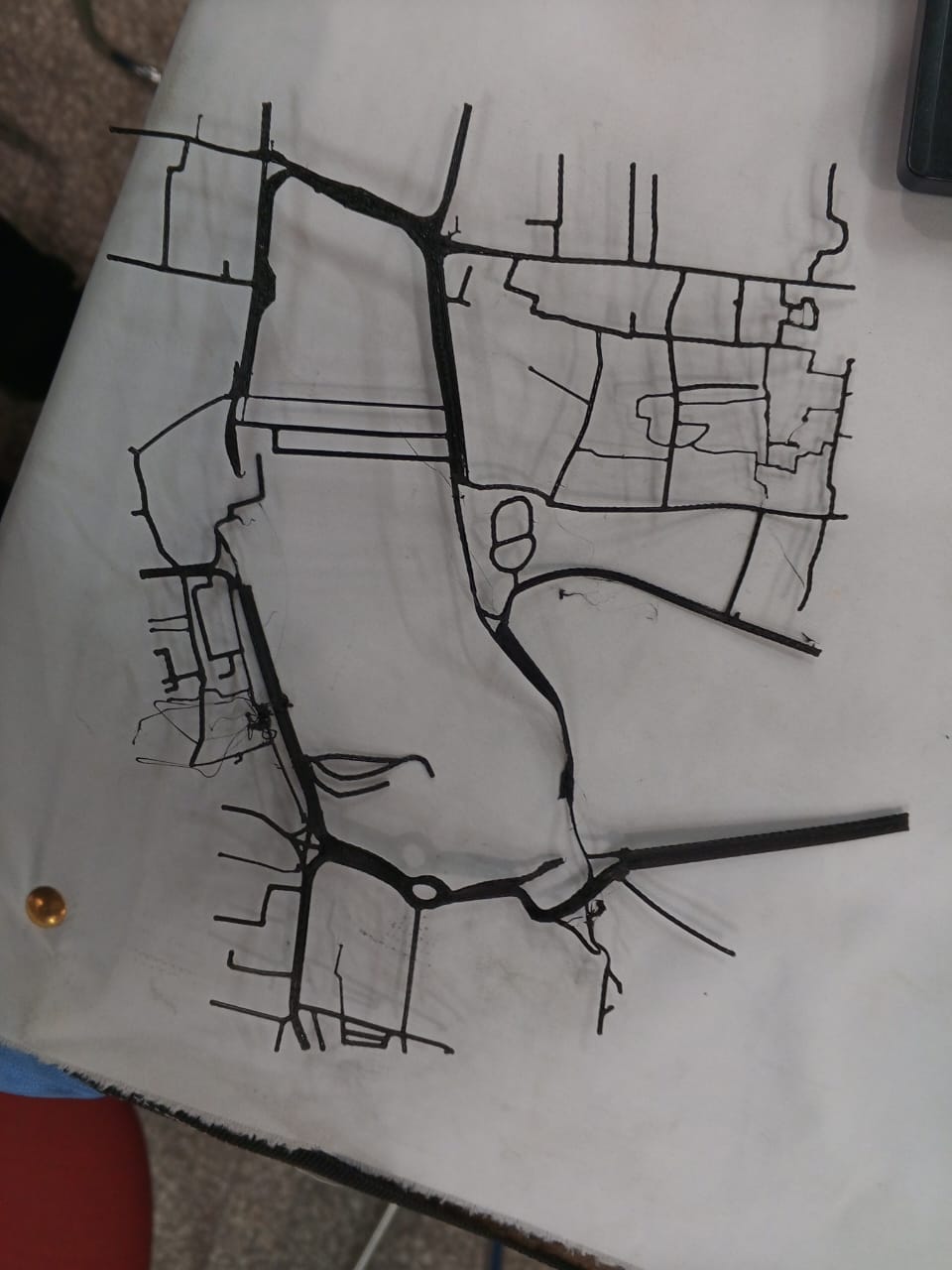
we attempted to print out the scaled down model of the map but during the process of printing it wrinkled out and did not work out. we continuously find out flaws into the designed and improved it gradually.
This print out was of 150mm*150mm and made up of PLA.
This print out was of 150mm*150mm and made up of PLA.
4th Trial : Finalizing the Design
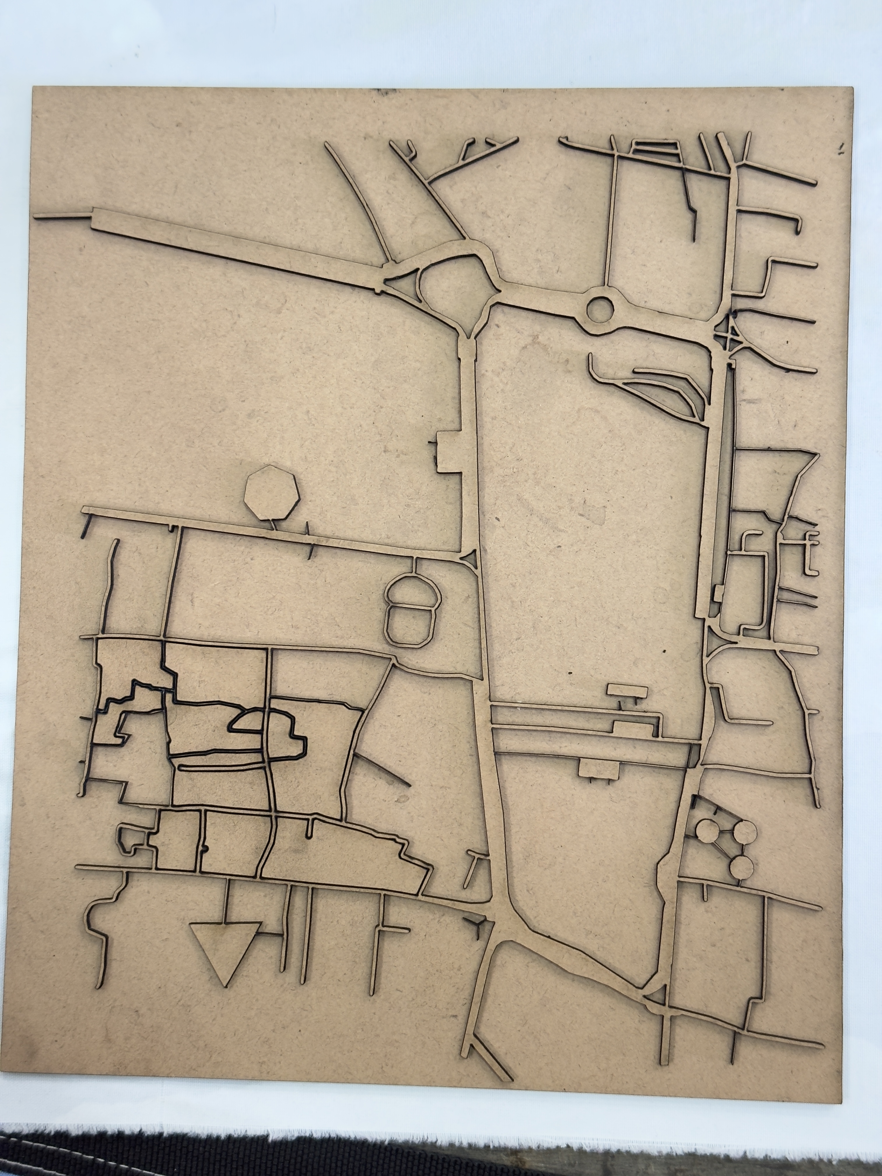
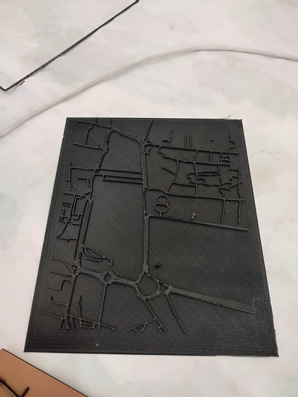
Due to time constrain for 3D printing, we had used lasesr cutting to finalize our prototype. This final design has everything embaded in it i.e. several landmarks along with the every essential places.
STL Files :
Learnings
Scaling of Maps :
Initially we didn't determine the actual ratio of our prototype. Later on we realized based on our user and scaling was done in the ratio of 1:200
Time Constraint :
Even small dimensions required quite significant time to be printed. So, we had to figure out the optimum design to be printed within the constraint time.
Collaboration
Being part of this event, we realized the importance of collaboration. how beautiful it could be if only we collaborate with others.
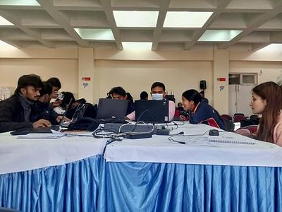
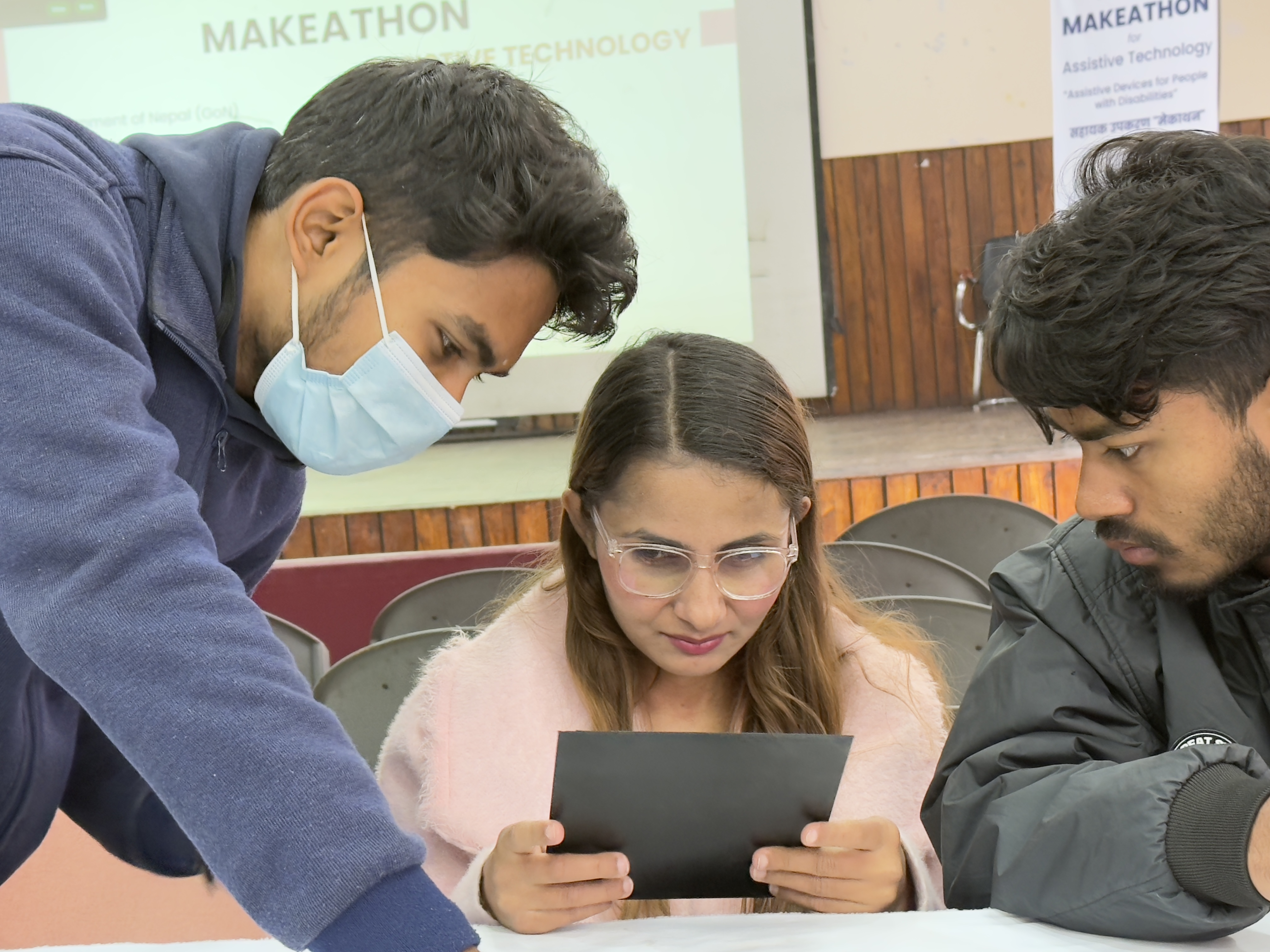
Result(s) : Testing with Need Knower
Demo Video :
Access Video : https://drive.google.com/file/d/1HExs7ziz1Y-d6EMbF58NECdtyeenG8Ln/view?usp=drivesdk
Future Prospect(s)
Future Prospect : Integration with Smart Technology
Embedding NFC or QR codes in the tactile map can provide audio descriptions when scanned with a smartphone, offering additional guidance.
Future Prospect : GPS Enabled Tactile Maps
Developing a digital version that syncs with GPS to provide real-time navigation assistance for visually impaired users.
Future Prospect : Modular and Expandable Design
Creating an adaptable map that can be expanded to include a larger area or different city locations.
Future Prospect : Public Infrastructure Collaboration
Collaborating with city planners and transportation authorities to install tactile maps in public places like bus stops and metro stations.
Conclusion :
This project has successfully created an innovative and practical tool that supports visually impaired individuals in navigating urban spaces safely and independently. The tactile map stands as a step toward greater inclusivity, promoting accessibility and equal opportunities for all.