GISを用いたグリーンマップ-問題発見-
![](/uploads/figure/content/39929/medium_%E5%A4%A7%E4%BA%95%E7%94%BA%E7%B7%91%E8%A2%AB%E5%88%86%E5%B8%83%E5%AE%8C%E6%88%90%E7%89%88.png)
Owner & Collaborators
License
![](/assets/cc/by-nc-ddec4574197a1faec01e57f64e65bf1c5903ee7a1c67e73c71e4db9e14c7d1b7.png)
GISを用いたグリーンマップ-問題発見- by Iori is licensed under the Creative Commons - Attribution-NonCommercial license.
Summary
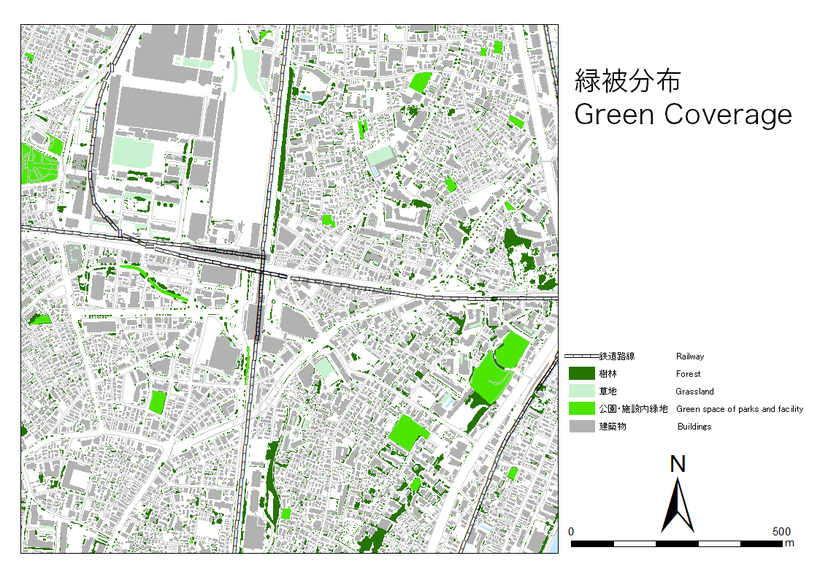
SFCスピリッツの創造を受けて実際に世の中で問題とされていることに対して能動的に動く姿勢が重要であると感じました。今回は、1つの観点として実際に自分の最寄駅の都市の緑化の問題について着目し、GISというソフトを用いてグリーンマップを作成しました。
これを通じて自分たちの住んでいる都市の問題に考えてみてはいかがですか。
![](/assets/icons/share-20ae092651324b0ed71e6f35153c99f57ae05ade83f9b3579ad7c26e922e7b52.png)
Materials
Tools
Blueprints
Making
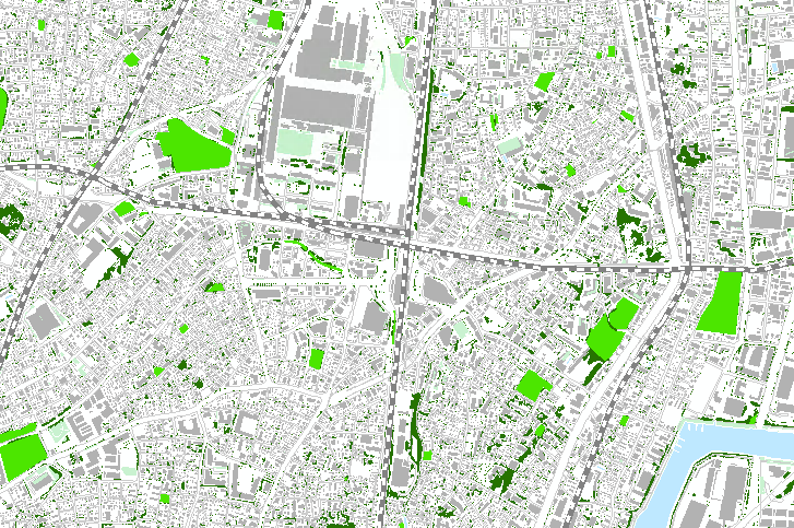
- Arc-GISに上記のデータを取り込み、マップとしてまとめる。
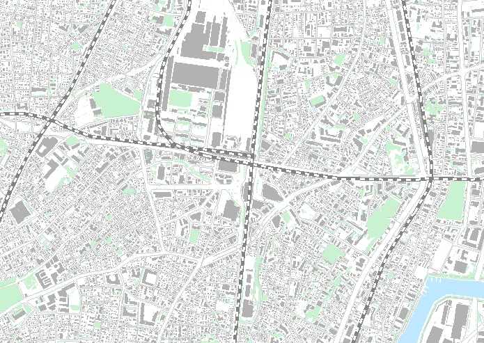
- このままでは、緑被全体として表示された状態である。緑被データには、樹林、草地、公園・施設内緑地、水辺等のデータが1つになっているので必要なデータをエクスポートして色を付けて見やすく手を加える。
References
Project comments
- Prepare to have your mind blown and witness a tidal wave of success with the groundbreaking new additions to the game. fireboy and watergirl
- Let's see what the rice purity score reveals about your innocence. Are you just an amateur or have a lot of experience in life?
![](/assets/loading-76d3480d6cfbd92ac2e356aacdd74ad155c7516f783d3e4af81bb94bf32bb69f.gif)
Comments